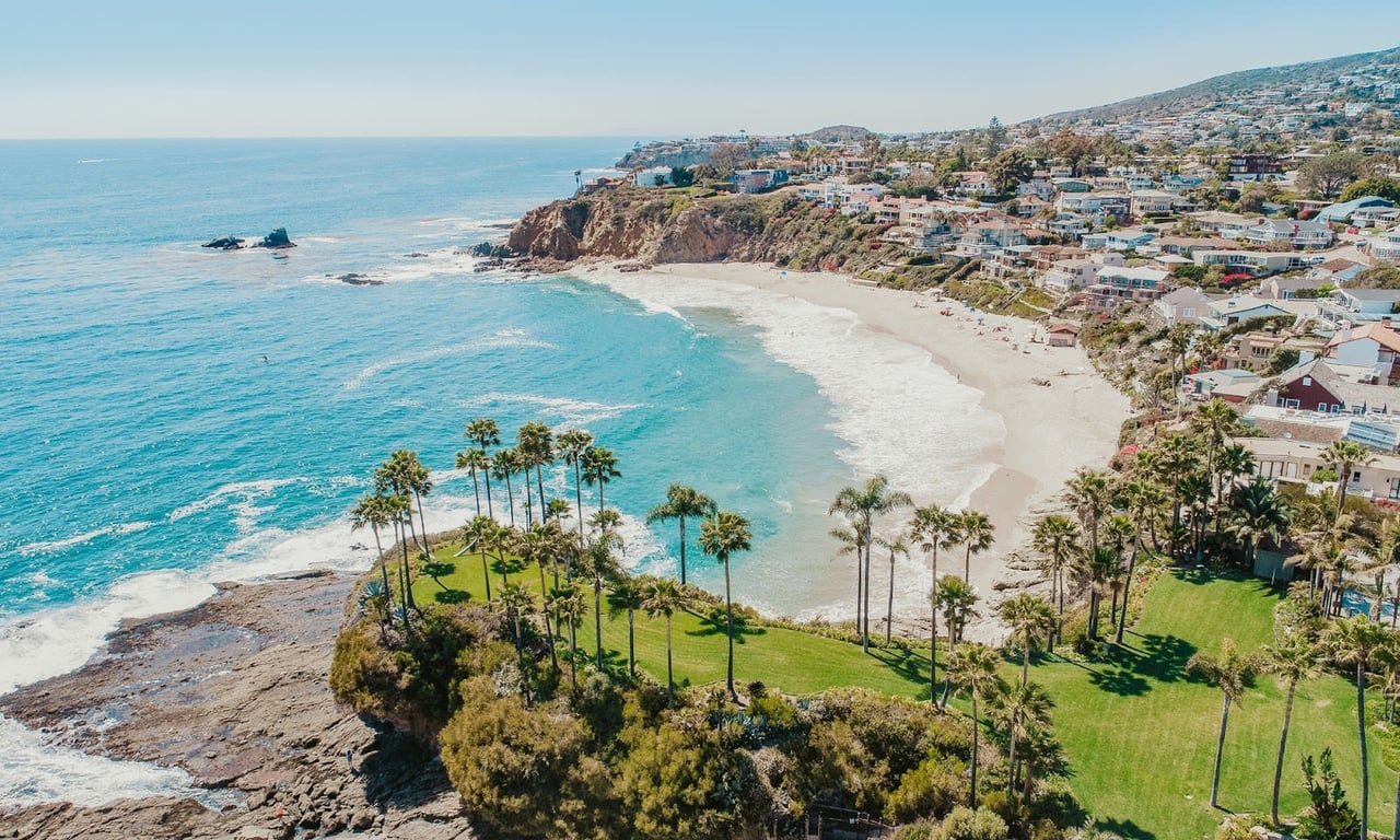
Walk the stretch of Sunset Cliffs Boulevard between Adair Street and Osprey Street this fall and you will hit caution tape before you hit a view. The section closest to the Sunset Cliffs sign, one of the most photographed spots on the peninsula, has been walled off since earlier this year. Pedestrians who used to have their own path now share the bike lane. Cyclists, in turn, are getting pushed toward the traffic lane on a road that was already tight before any of this started.
If you have lived in Point Loma or Ocean Beach long enough to remember when the path along the bluffs was fully open, you have probably assumed this is temporary. A construction detour. Something the city will clear up once the seawall gets built.
Here is the part that surprised me when I dug into the city's own project files: the seawall everyone is waiting for does not have construction money attached to it yet. Meanwhile, a completely different city project, one most residents haven't heard of, is fully funded and on track to finish by January 2027. It just happens to be the project that changes how you drive on Sunset Cliffs Boulevard, not the one that stops the cliffs from crumbling.
Two plans. One stretch of coastline. Very different clocks.
Two City Projects, One Stretch of Cliff
The confusion is understandable because both projects touch the same half-mile of road, and city planners themselves have had to clarify in public meetings that they are separate efforts with separate funding.
| Sunset Cliffs Seawall Improvement | Coastal Resilience Master Plan (Sunset Cliffs segment) | |
|---|---|---|
| What it does | Builds a new engineered seawall (a combined Tieback Wall and Secant Pile Wall drilled 60 feet deep) between the existing seawalls near Spalding Point | Redesigns the boulevard itself: a separated pedestrian path, removal of west-side parking, one southbound vehicle lane |
| Funding status | No construction funding secured as of spring 2026 | Fully grant-funded through a State Coastal Conservancy grant |
| Design progress | 60 percent complete as of spring 2026 | Concept-level designs and environmental review already finished |
| Target timeline | Final design and permitting through summer 2027; construction possibly starting late winter 2027, with permitting and funding expected to take about 20 months from there | Targeted for completion by January 2027 |
| Origin | Planning began in 2018, became a capital project in 2022 | Adopted unanimously by City Council in September 2025 |
The seawall is the fix most residents picture when they see the collapsed railing and the caution tape. It is also the one still years from breaking ground, and the city's own project page is honest about where things stand.
The road redesign, by contrast, is the one that already has a check written for it. It is also the one generating the loudest arguments at community meetings, because it touches parking and driving patterns that people notice every single day, whether or not the cliffs are actively falling.
Why the Rails Came Down in January
The urgency behind both projects traces back to a specific failure. In January 2026, a section of the bluff gave way and took out protective railing that, as Dokken Engineering's Kimberly Wender put it at a May 12 community meeting, "is gone today." Wender, the senior project engineer overseeing the seawall design, walked residents through an assessment that found as little as 12 feet separating the edge of the bluff from the roadway in some spots, with caves already undercutting the bluffs closer to the road than most people would guess standing on the sidewalk above.
Then, on April 14, a different section near the natural arch broke off entirely, close to a spot popular with cliff jumpers. SDSU geology professor Dr. Pat Abbott offered the kind of blunt context that only a scientist who has watched this coastline for decades can give: the sandstone here is roughly 75 million years old, and it fractures as waves and shifting earth continue to work on it. In his words, "this is not an unexpected event here at all."
That is the backdrop for the meeting Wender and City program manager Elizabeth Schroth-Nichols held at the Haas Community Room inside the Point Loma/Hervey Branch Library on May 12. About 50 residents packed the room for an hour and a half, and the question period alone ran through more than 30 questions. People wanted to know why a $32 million seawall was being proposed inside a park whose own 2005 master plan explicitly discourages hard structures like seawalls along the bluffs. The city's answer, in short, is that this particular stretch already has two older concrete seawalls flanking it, so the new wall fills a gap rather than introducing a new kind of structure to an otherwise natural bluff.
The One-Way Debate You'll Actually Hear About at Dinner
If you want to know what Point Loma residents are genuinely fired up about right now, it is not the seawall. It is the traffic plan.
The Coastal Resilience Master Plan's Sunset Cliffs segment calls for a wider, separated pedestrian and bike path, the removal of parking on the west side of the boulevard, and converting the road to one southbound lane. Leon Scales, chair of the Sunset Cliffs Natural Park Council, has heard the pushback directly. He has taken to asking people who romanticize living right on Sunset Cliffs Boulevard a pointed question: would they still want that address if they understood what cliff retreat could eventually mean for their investment?
Not everyone is convinced the tradeoff is worth it. Point Loma native Sally Bixler called the one-way proposal "a very bad idea," arguing that erosion is a real problem but that eliminating the northbound lane isn't the right answer to it. Resident Susan Winkie made a narrower point: the worst congestion happens right around sunset, when cars pile up on Sunset Cliffs Boulevard and Hill Street, and making the road permanently one-way risks pushing that traffic onto residential streets like Cornish and Devonshire instead of solving it. Aaron Null, who owns Vervor Design & Shop on Voltaire Street, sees it from both sides. He worries about parking spillover into surrounding neighborhoods but also admits that a genuinely wider, separated path along the cliffs could make for a calmer experience once people adjust.
None of that debate changes the funding picture. The traffic redesign is the one with a State Coastal Conservancy grant behind it and a January 2027 target. The seawall, the actual fix for the crumbling bluff that started this whole conversation, is still working through its permitting with no construction dollars committed.
What This Means for Your Sunset Walk Through Next Year
If you walk, run, or bike this stretch regularly, plan around the situation as it exists today, not the one you're hoping shows up next spring.
- The closed section between Adair and Osprey is likely to stay closed for a while. There is no construction funding yet, and even the optimistic timeline puts a start in late winter 2027.
- Expect the bike lane to keep doing double duty as a pedestrian detour. If you bike this route at sunset, budget extra room and patience, since cyclists are already being pushed closer to vehicle traffic than anyone would prefer.
- Watch for changes tied to the Coastal Resilience Master Plan before you see changes tied to the seawall. Parking removal and a lane conversion could arrive on a faster clock than the actual bluff repair, which is a strange but accurate way to describe where this project stands.
- If a community meeting gets announced at the Point Loma/Hervey Branch Library, it is worth attending in person. The May 12 session is the clearest example so far of how much these plans can shift based on resident input, since city staff spent most of the evening fielding direct pushback on the one-way proposal.
The cliffs themselves are not going anywhere fast. The sandstone that Dr. Abbott described has been eroding for millions of years and will keep doing so regardless of which city plan crosses the finish line first. What is worth tracking, if this is your regular walk or your neighborhood, is which fix actually gets built and in what order, because right now the answer is genuinely not the one most people assume.
If you are weighing what any of this means for a home along the bluffs, or you're simply trying to understand how Point Loma's coastline is changing before you make a move here, The Kaiser Team knows this stretch of coastline block by block. Reach out to get your home value or book a consultation, and we'll walk you through what these projects actually mean for the neighborhood you live in or want to.